Mughan plain (Azerbaijani: Muğan düzü, مغان دوزو; Persian: دشت مغان, romanized: Dasht-i Mughān) is a plain stretching from northwestern Iran to the southern part of the Republic of Azerbaijan. The highest density of irrigation canals is in the section of the Mughan plain which lies in the Republic of Azerbaijan. It is located on the bank of the Aras river extending to Iran.
The Mughan plain consists of five cities: Bilehard, Parsabad, Jafarabad, Germi and Aslan Duz. One-third of the plain is located in Iran and the rest is in Azerbaijan. From 1353 to 1372, Garmi was the center of this city. After that, Mughan was divided into three cities, Bileh Savar, Garmi and Parsabad.
History
The ancient settlement of Alikomektepe, dating to c. 5000 BC, is located in the Mughan plain and covers an area of over 1 hectare. Early levels belonged to Shulaveri-Shomu culture. The Mughan culture was later centered in the area. Mughan was a province of the Abbasid Caliphate, in present-day Iranian Azerbaijan. Mughan District was one of the administrative divisions of Shirvan Khanate. After 1820, the Shirvan Khanate was conquered by the Russian Empire.
Maps
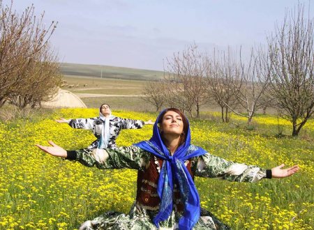
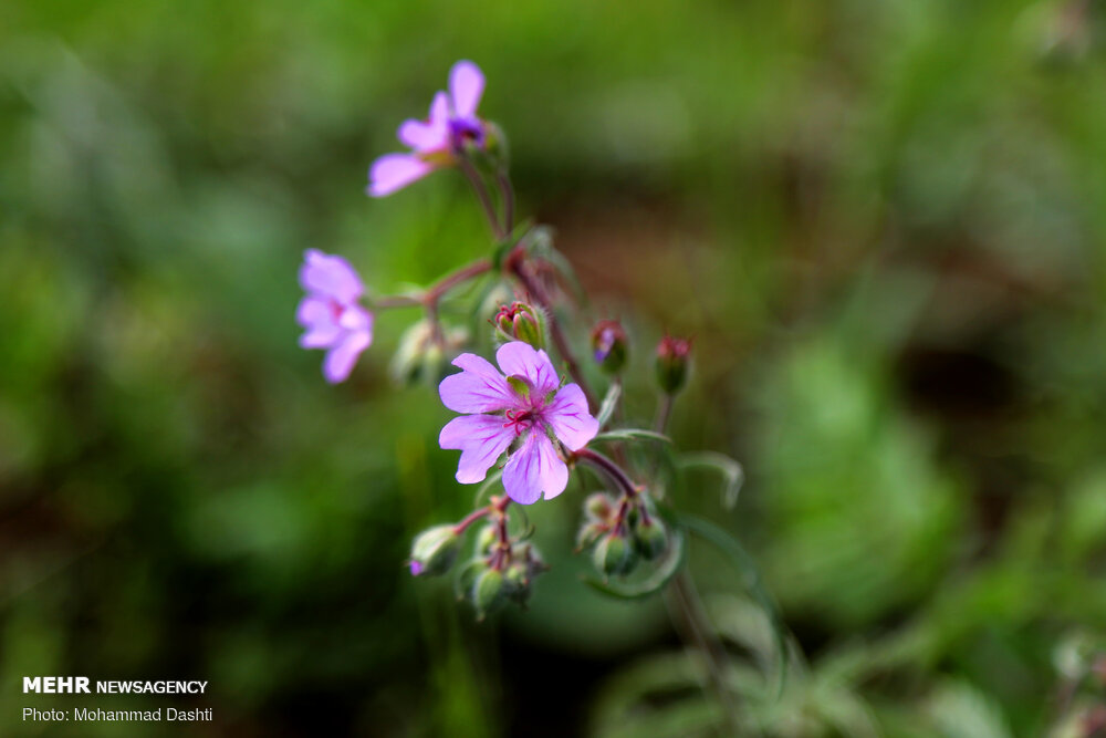
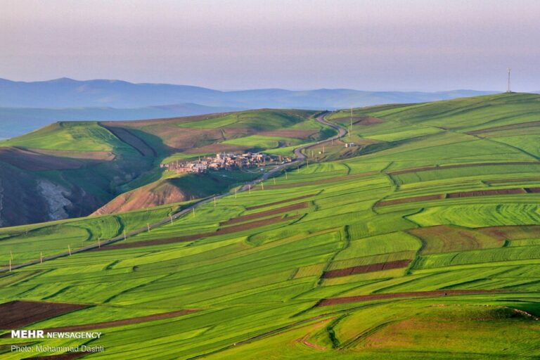
Gallery
See also
- Garayazi plain
- Arran (Caucasus)
- Azerbaijan–Iran border
Notes
References
- MOḠĀN in Iranica