National Route 436 (N436) or the Palico–Balayan–Batangas Road is a 60.37-kilometer (37.51 mi) secondary national road that forms part of the Philippine highway network. It is a two-to-four lane, secondary road connecting various municipalities and two cities of southern and western Batangas.
Route description
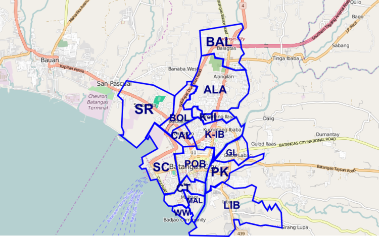
The highway starts at Palico junction at Barangay Luntal near the border of the municipalities of Tuy and Nasugbu, heading southeast towards the town proper of Tuy, then directly south towards another rotonda in Barangay Calzada in the municipality of Balayan. The road then turns eastward towards Calaca, passing near the Calaca Power Plant, past the city proper, then meets the end of Diokno Highway at Barangay Mahayahay in Lemery. The road then passes through Lemery town proper, then turns sharply towards Taal, passing the Taal Basilica. The road then goes past the town of Santa Teresita, then briefly through Barangay Muzon in San Luis and Barangays Muzon Primero and Segundo in Alitagtag, then enters the town propers of Bauan and San Pascual and enters Batangas City and finally terminates in Barangay Calicanto at the junction with Jose P. Laurel Highway and P. Burgos Street.
Intersections
The entire route is located in Batangas. Intersections are numbered by kilometer posts, with Rizal Park in Manila designated as kilometer zero.
References
External links
- Department of Public Works and Highways


